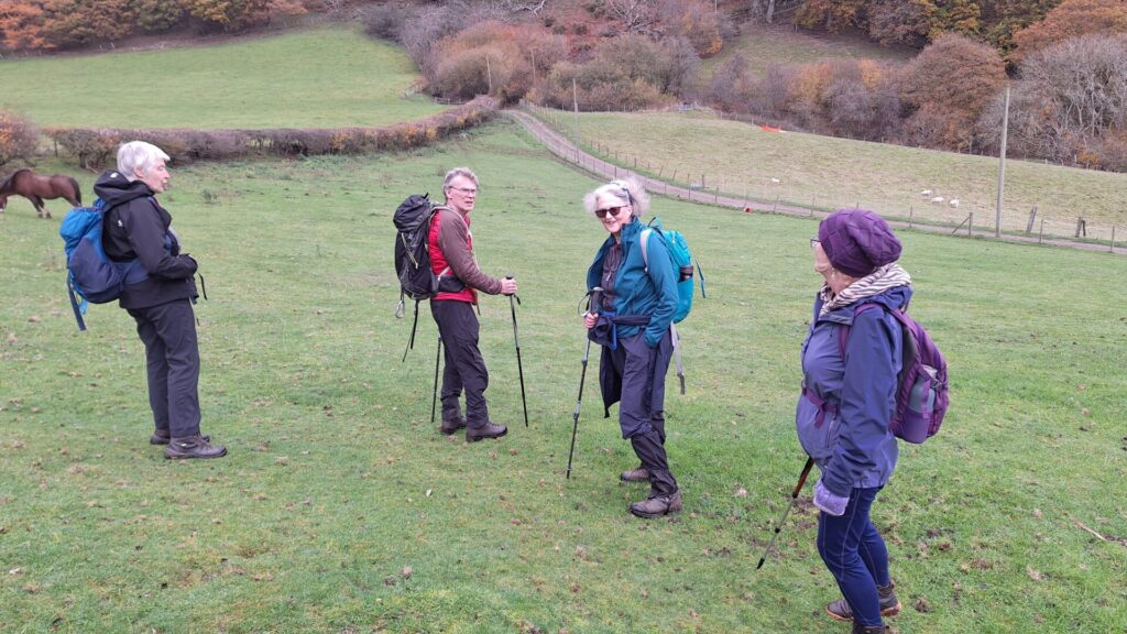
On Friday 7th November four members met by the railway station in Glydyfrdwy, donned their boots, strapped on their rucksacks and crossed the bridge over the Dee to meet their fifth companion (me) at the start of the footpath alongside Coed y Glyn.

Although it had rained on most of the previous seven days Friday was dry and the ground was quite firm underfoot. The very steep hillside drains quickly and we had no difficulty climbing through the wood to reach the farm at Pant y Ffynon.
We were relieved to see that the very noisy dogs in the kennels alongside the road were securely fastened keeping us safe from their bared teeth. But we soon left the road again at the waymarked footpath and crossed the stile towards the derelict farm at Bryn Mawr.
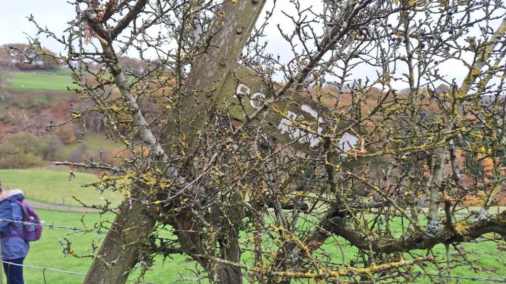
Almost hidden in a tree alongside the stile is a pictorial signpost suggesting that if we retraced our steps back to Glyndyfrdwy we would find a Post Office, Railway and Pub. The railway still carries excited visitors during school holidays and there is still one pub in the village but the Post Office has long since gone.
The dilapidated buildings at Bryn Mawr were a sad reminder of the hard life of the hill farmers with all the old rusting abandoned vehicles and machinery no longer good enough to support a family. Our route joined a more clearly defined track here and it was lined on both sides by carefully tended apple trees bowed down by abundant rosy red fruit. This track continued past Bryniau to the end of the tarmac access road where we joined the Dee Valley way for a while as it followed the contours above a thickly wooded and steeply sloping bank.
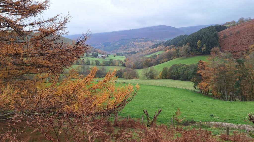
Leaving the waymarked route as it turned sharply downhill, we clambered over a fence to continue towards Cwm Tydi by the old farmer's path. This is another long deserted but well cared for farm building standing in a beautiful setting at the head of the valley with views out to the Berwyn range.
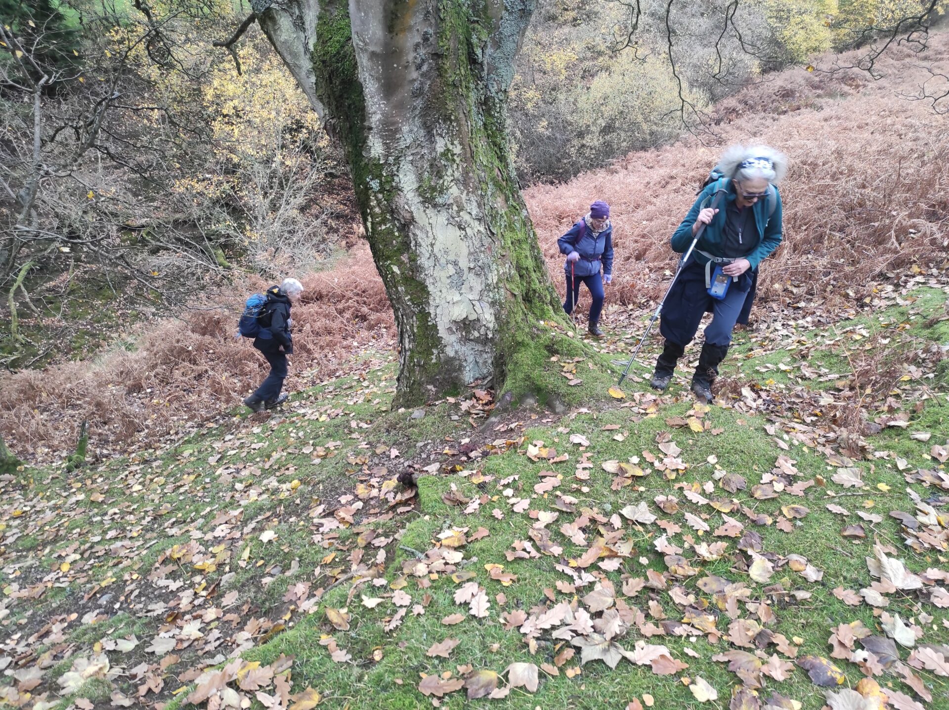
We paused briefly to admire the stonework in a disused barn before launching ouselves up what was probably the steepest part of our walk through the copse alongside the nant almost due north.
Out onto the open moorland we continued until we reached our highest point a little over 200 metres above the station in Glydyfrdwy.
Following the contours once more we crossed the lower slopes of Moel Morfydd, whose summit was still a further 200 metres above us. The views along this stretch of the footpath are extensive along the Llantysilio range across Eglwyseg mountain, Dinas Bran and the Berwyns. Sadly it was not very clear for our visit but still very rewarding.
A cooler breeze with a hint of rain, or it may have been low cloud, encouraged us to turn downhill between the former slate quarries rather poignantly called "disused tip" on our OS maps.
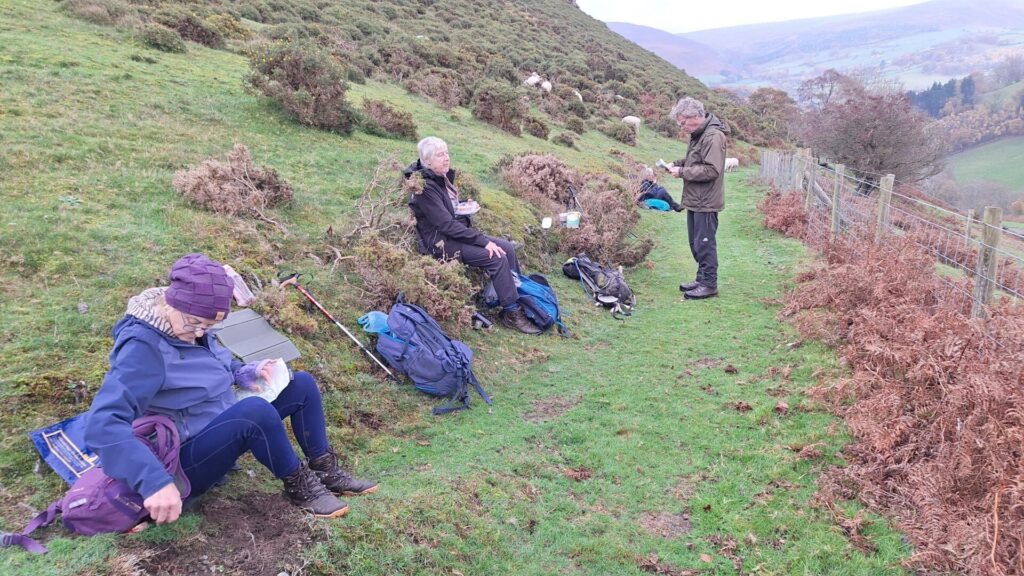
Nestled into the south facing slope in the narrow valley we sat for a while and consumed our picnic lunch. After lunch it was downhill all the way passing Wern Ddu and regaining the tarmac lane at Gelli Forfydd and following the lane alongside the River Dee back to Glyndyfrdwy station.
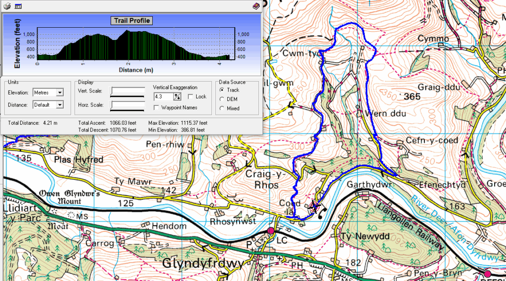
Our thanks are due to Jo for finding, checking and organising a beautiful and enoyable walk.
Pete